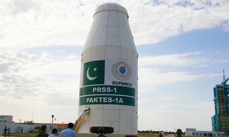
Pakistan is making rapid progress in space technology
Pakistan Remote Sensing Satellite (PRSS), commonly known as Remote Sensing Satellite System (RSS), is an Earth observation satellite. The Pakistan Remote Sensing Satellite System was launched on July 9, 2018, from the Jiuquan Satellite Center in China.
In the year 2012, Pakistan’s first remote sensing satellite project was completed. SPARCO has developed its own version of the Global Navigation Satellite System (GNSS) and in September 2012 acquired China’s Baidu Navigation System.
SPARCO is developing three satellite designs in collaboration with various universities across the country. According to SPARCO, it intends to support the use of space technology capabilities for natural resource surveys and environmental purposes.
To achieve this goal of using space technology capabilities for natural resources surveys and environmental purposes, Pakistan’s first satellite system was launched in 2018.


Comments